Ways to Survey a Road Network: Manual, NSV, Drone, Satellite and Video AI
A fair comparison of five ways to assess road network condition — walkover, survey vehicle, drone, satellite and video AI — and when each fits.
Every road authority faces the same question: how do we know the condition of the network we are responsible for? There are five practical answers, and they are not competitors so much as tools with different jobs.
Manual walkover inspection
An engineer walks or slowly drives the road and records what they see, often on a form or a phone app.
Strengths. Judgement. An experienced engineer notices the drainage problem that explains the surface failure, and can decide on the spot what matters. For a short stretch, or for diagnosing a specific failure, nothing beats it.
Limits. It doesn’t scale, and different inspectors grade the same road differently. Records are hard to compare from one cycle to the next.
Use it for detailed diagnosis, complaint investigation and final acceptance checks.
Network survey vehicle (laser profiling)
A purpose-built vehicle with laser profilometers and high-resolution imaging measures roughness, rutting and texture as it drives.
Strengths. Instrumented measurement. When you need roughness reported as a measured index rather than an estimate, this is the reference method, and for major corridors it is often contractually required.
Limits. Cost and availability. A survey vehicle is booked, scheduled and paid for per campaign, which is why most networks are surveyed this way once a year at best — or never, for smaller roads.
Use it for contractual roughness measurement, major corridors and anything where an instrumented figure is specified.
Drone survey
A UAV flies the corridor and captures imagery, sometimes photogrammetry.
Strengths. Plan-view geometry, earthworks and progress monitoring. Useful where the road is under construction or where you need to see the corridor rather than the surface.
Limits. Permissions, flight time and weather. Surface distress is harder to classify accurately from altitude than from a camera at vehicle height.
Use it for construction progress, encroachment mapping and corridor planning.
Satellite assessment
Imagery from orbit, analysed for change.
Strengths. Coverage without mobilising anyone, and a view of areas that are hard to reach after a flood or landslide.
Limits. Resolution. Satellite imagery can tell you a road is damaged or a section is missing; it cannot grade a crack or measure a pothole.
Use it for post-disaster triage over a wide area, not routine condition assessment.
Video-based AI assessment
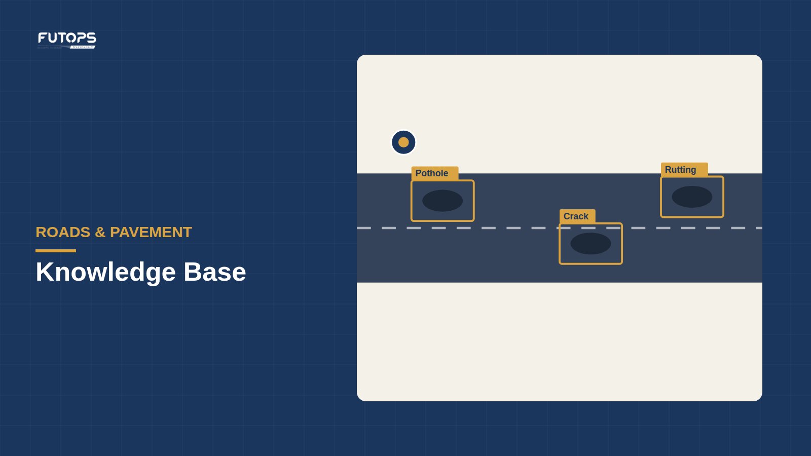
A camera on an ordinary vehicle records the road while it drives, and the footage is processed to detect and classify surface defects, with each finding geo-tagged and linked to the frame it came from.
Strengths. Frequency and consistency. Because the capture uses an ordinary vehicle rather than a specialised one, the same road can be surveyed monthly rather than annually, and every survey applies the same rules. That turns condition from a snapshot into a trend, and it produces an evidence trail — every finding traceable to a timestamped, geo-tagged frame.
Limits. It is an estimate of surface condition, not an instrumented measurement. Roughness derived from video should be treated as a screening indicator, not a substitute for profilometer data where a measured index is specified. It sees the surface, not what is beneath it, so it tells you a pavement is failing without telling you why.
Use it for network-wide screening, monitoring between formal surveys, prioritising where to send an engineer, and building a dated record of how the network changes.
Choosing between them
A simple way to think about it:
- How often do you need to know? Annually favours a survey vehicle; monthly or after every monsoon favours video AI.
- Is a measured index specified? If the contract names an instrumented measurement, that method is not optional.
- What will you do with the answer? Prioritising work across a network needs consistency and coverage. Diagnosing one failure needs an engineer on site.
- How big is the network? Walkover inspection stops being realistic quickly; the question is what replaces it.
Most authorities end up combining them: instrumented surveys where they are specified, video-based monitoring in between, and engineers sent to the places the data flags.
Where Futops fits
RoadSense is the video-based option. We are direct about what that means: it produces IRC-aligned (self-declared) condition assessment at a frequency that periodic surveys cannot match, and it does not replace a statutory road safety audit or an instrumented roughness measurement. Where those are required, they remain required — and a continuous record of condition makes preparing for them easier.