AI-Based Road Condition Assessment: How It Works
How AI turns dashcam survey footage into automated, geo-tagged road condition data — replacing slow manual inspection.
Roads deteriorate continuously, but most authorities still assess them the way they did decades ago — periodic manual inspections, walked or driven by engineers, covering a fraction of the network at a time. AI-based road condition assessment changes that equation entirely.
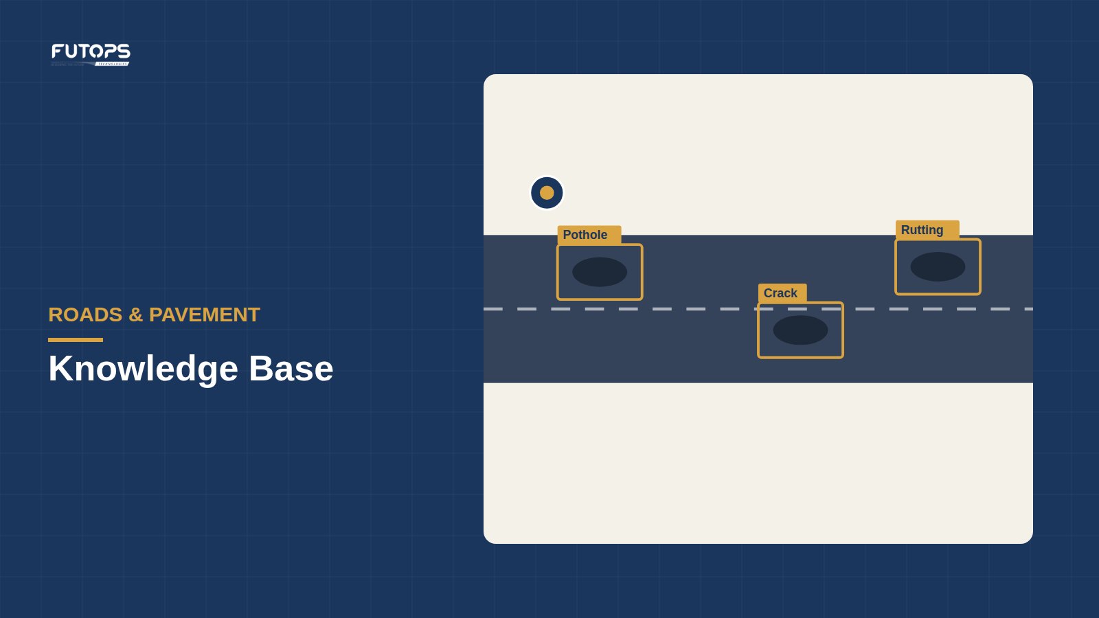
The process starts with a standard vehicle-mounted dashcam, driven along the road network during a routine survey pass — no specialized hardware, no lane closures, no traffic disruption. Computer vision models then analyze the footage frame by frame, automatically detecting and classifying road-surface defects: potholes, cracking, rutting, and drainage or signage issues, each one geotagged and time-stamped as it’s identified.
The output is a structured, searchable digital record of road condition across the entire surveyed network — not a sample, not an engineer’s summary, but the actual data authorities can use to prioritize maintenance budgets and track deterioration over time.
Futops’ InfraIQ RoadSense applies this approach at 90%+ detection accuracy (self-declared) across 60+ road parameters, with an IRC-aligned, self-declared assessment methodology.